U.K News
UK weather: Temperatures could hit 14C this week after fortnight of ‘anticyclonic gloom’

A Shift From Gloom to Sunshine: UK Weather Forecast
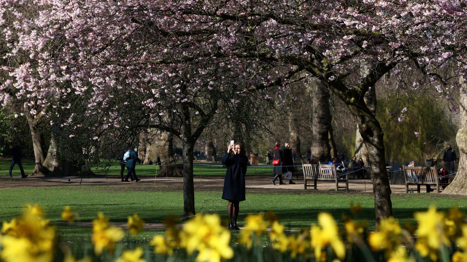
After a prolonged period of overcast skies and chilly temperatures, the UK is set to experience a welcome change in weather. By the middle of the upcoming week, temperatures could rise to a relatively warm 14°C, marking a significant shift from the recent gloomy conditions. The Met Office has indicated that some parts of the country may even see sunshine returning as early as Monday, bringing much-needed relief to residents who have endured days of dull skies and cold weather.
The recent spell of poor weather has been attributed to an "anticyclonic gloom," a weather phenomenon where high pressure traps moisture close to the Earth’s surface, resulting in prolonged cloudiness, mist, and fog. This has led to a particularly dreary fortnight for much of the UK, with parts of the country experiencing sleet, snow, and even rare freezing rain over the weekend. However, the weather is expected to improve gradually, with the worst of the cold and gloomy conditions easing by mid-week.
Understanding Anticyclonic Gloom
The term "anticyclonic gloom" might sound unfamiliar to many, but it refers to a weather pattern caused by a high-pressure system. In simpler terms, when a high-pressure system, or anticyclone, dominates the weather, it often brings stable and calm conditions. However, during the autumn and winter months, when the sun’s rays are weaker, this stability can lead to a layer of moisture becoming trapped near the ground. This results in persistent cloud cover, along with pockets of mist and fog.
According to Met Office meteorologist Jonathan Vautrey, the UK has experienced a "noticeable shift" in weather over the past two weeks, with temperatures staying below average for most of February. The recent cold snap has been exacerbated by a large anticyclone sitting over Scandinavia, which has brought cold winds from the east and picked up moisture from the Baltic and North seas. This combination of cold air and moisture has led to thick cloud cover and drizzle in many areas.
Regional Variations in Weather
While the UK as a whole is set to experience warmer temperatures by mid-week, there are notable regional variations in the weather forecast. More western areas are likely to see some rain during the week, while eastern regions are expected to remain drier. Additionally, some parts of the country, particularly East Anglia and Lincolnshire, may still experience rain and potentially snow over the weekend. Scotland could also see snowfall towards the beginning of next week, highlighting the ongoing impact of the cold air from Scandinavia and Central Europe.
The Battle Between Cold and Mild Air
The current weather patterns are the result of a "battleground" between two contrasting air masses, according to Met Office meteorologist Tom Morgan. On one side, there is cold air from Scandinavia and Central Europe, which has brought chilly conditions to eastern parts of the UK. On the other side, milder air from the Atlantic is gradually pushing eastward, attempting to displace the cold air. However, this process is occurring very slowly, and it will take until mid-week for the warmer conditions to dominate nationwide.
A Rare Break From Sunshine
One of the most striking aspects of the recent weather has been the prolonged lack of sunshine in some areas. Some parts of the UK could go up to 10 days without any significant sunlight, a phenomenon that is "near record-breaking," according to Tom Morgan. For example, if Lyneham in Wiltshire remains cloudy on Sunday, it could equal the site’s record for consecutive days without sunshine in February. This prolonged gloom has not only affected the mood of residents but has also led to higher levels of pollution, as aerosols and pollutants become trapped under the stagnant high-pressure system.
A Warmth Wave on the Horizon
Despite the recent gloom, there is light at the end of the tunnel. The predicted temperatures of 14°C by mid-week are well above the average for February, which is typically around 6°C in Scotland and 9°C in southern England. While these temperatures are unlikely to break any records—February’s highest temperature on record was 21.2°C, recorded in 2019 at Kew Gardens—they will still feel like a welcome relief after weeks of cold and overcast weather.
In conclusion, the UK is set to experience a gradual shift in weather over the coming days, moving from the recent cold and gloomy conditions to warmer and sunnier skies by mid-week. While regional variations in weather will persist, with some areas still experiencing rain and snow, the overall trend is a positive one for those eager to shed their winter coats and enjoy some much-needed sunshine.